Our Services

Survey Contracting
Construction surveys, or building surveys, involve setting reference points and markers that guide the construction of new structures such as roads and buildings. These markers are usually stakeout using the appropriate coordinate system selected for the project.

Topographical Survey
A topographical survey is an accurate depiction of a site which is scaled according to the spatial considerations and is the summary of on-site data.

Engineering Survey
Topographic Survey & Mapping (3D Laser scanning, Mobile mapping, and Drone survey) Road and Infrastructure, Structure, Land development, As-built survey, and setting out of plants. Building, bridge, underpass and permanent structures.
Survey Design
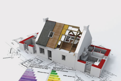
Outsourcing some or all of your drawing office production to Unisys gives you access to a highly flexible resource that integrates with your business and puts you in full control of the workflow. The success of survey research depends on how closely the answers that people give to survey questions match how people think and act in reality.
GPS Survey
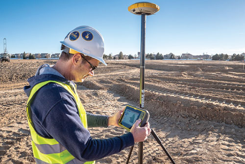
GPS (Global Positioning System) Surveying is the most advanced positioning and data recording technology available to the Land Surveyor today. Using available Satellites (Minimum 4), the Receivers record satellite signals and internal receiver software, sub-centimeter accurate horizontal and vertical positioning data is provided about any point or feature. This data can be related either to the National Grid Co-ordinate system or to your project’s own Local Grid.
Land Demarcation
- Topographical Surveys
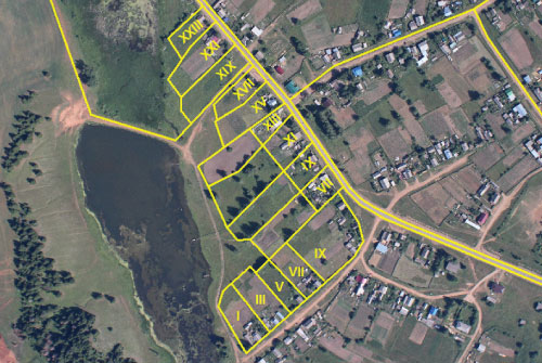
- Demarcation / Plot Boundary Marking
- Initial/Re/Final Demarcation for Trakhees
- Demarcations for Nakheel
- Gate Level Computations
- OGL (Original Ground Level) Survey
- Underground Utility Survey
- Excavation Quantity Calculations
Alignment
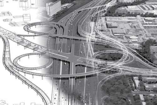
Alignment is the center line position of the highway on the ground; it is also termed highway alignment. The alignment guides the good pass of the road through wright Alignment, which is the most economical and easy to construct.
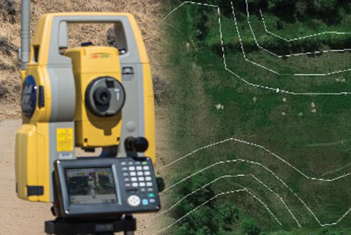
Contour Survey
A contour survey shows the boundaries of the property in a geo-referenced space, with the important contour intervals that show the terrain changes across the property and the location and accuracy of any controls used in the survey.
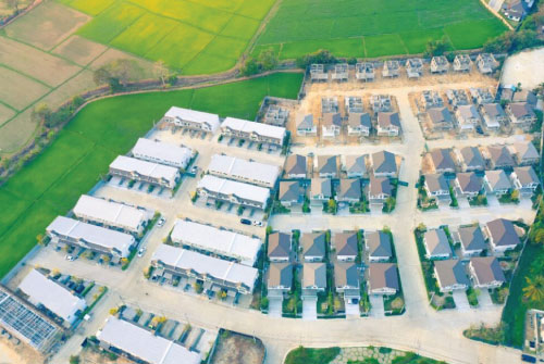
Cadastral Survey
A cadastral survey is indispensable in protecting the citizen’s property rights by registering land information on the cadastral records, which serve to publicly verify cadastral information such as the location and area of land. Cadastral data, also known as a cadastre, contains official, legal documentation concerning the quantity, dimensions, location, value, tenure, and ownership of individual parcels of land.
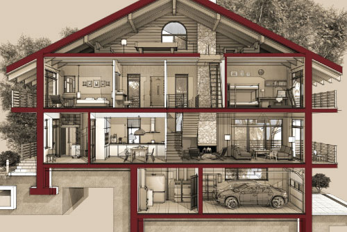
L Section & Cross Section Drawing
A cross-section provides a side view, or profile, of a landscape. This view enables us to see how this shape of the land influences land use such as settlement, drainage, and vegetation. Outsourcing some or all of your drawing office production to Unisys gives you access to a highly flexible resource that integrates with your business and puts you in full control of the workflow.

All Type Surveying
- Building, bridge, underpass and permanent structures.
- Shoring and pile point setting out.
- Boundary survey.
- Grading design.
- MEP setting out an existing detailed survey of related fields.
- Landscaping Survey.
- Construction Staking.
- Feasibility Studies.
- Settlement/movement monitoring Survey.

Maintenance & Civil Contracting
Traverse is willing to provide you with all kinds of general maintenance & civil contracting for all commercial & all residential units, We are having very high trade skills and high quality of workmanship and we would like to be your first choice for any building and construction work, property maintenance, renovations or alterations.
Our Trusted Clients


